USA weather november
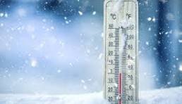
As the leaves crunch underfoot and the first flurries tease the horizon, many Americans are bundling up earlier than usual this year. It’s mid-November, and temperatures across the United States have plummeted into what feels like December—or even January—in places. From the frozen plains of the Midwest to the unusually chilly beaches of Florida, an Arctic blast has gripped the nation, shattering records and prompting questions: Why is it so cold? Is this just a fluke, or the start of a brutal winter? In this deep dive, we’ll explore the meteorological mayhem behind this early freeze, blending seasonal science, atmospheric anomalies, and global influences. Buckle up—it’s going to be a chilly ride.
The Seasonal Setup: Winter Knocking Early
November marks the transition from fall’s golden hues to winter’s stark whites, but 2025’s version feels accelerated. In the Northern Hemisphere, the tilt of Earth’s axis away from the sun reduces daylight hours and solar heating, naturally cooling the continent. By mid-November, the jet stream—a high-altitude river of winds—begins to dip southward, funneling colder air from Canada and the Arctic into the lower 48 states.
This year, however, the dip is more like a plunge. According to forecasts, an Arctic air mass has surged south, dropping temperatures by 20-30 degrees Fahrenheit below average in many areas. Cities like Chicago, already accustomed to brisk winds, saw highs struggle to reach the 20s, while Atlanta and Dallas flirted with freezing marks not seen this early since the 1800s. This isn’t your standard autumn chill; it’s a preview of winter’s ferocity, driven by larger atmospheric forces.
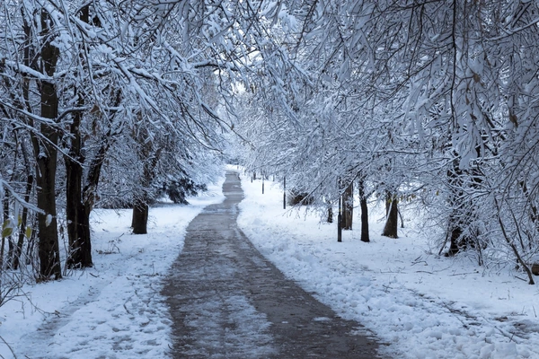
The jet stream’s meandering path is key here. Typically, it flows west-to-east like a steady conveyor belt. But when it buckles into a wavy pattern—think of a garden hose kinked by wind—it allows frigid polar air to spill southward while trapping warmer air in the north. In November 2025, this “Arctic rollercoaster” has positioned a massive dome of high pressure over the central U.S., locking in the cold. Snow has dusted the Rockies and Appalachians, and ice warnings have blanketed the South, turning routine commutes into slippery ordeals.
The Culprit: An Uninvited Arctic Blast
At the heart of this cold snap is a classic Arctic outbreak, where air straight from the North Pole invades warmer latitudes. On November 9-10, this blast began filtering deeper into North America, carried by northerly winds that bypassed the usual buffering mountains and lakes. By November 13, two-thirds of the U.S. was under its influence, with lows dipping into the single digits in the Dakotas and teens across the Midwest.
Why now? Blame the pressure systems. A strengthening low-pressure area over the Aleutian Islands (off Alaska) has teamed up with a ridge of high pressure over Greenland, creating a “see-saw” effect. Cold air rushes south to fill the low, while warmer Pacific air gets shunted northward. This dynamic has been amplified by recent weather patterns, including a stalled frontal boundary that acted like a conveyor belt for the Arctic payload.
The impacts are visceral: Power grids strain under heating demands, flights ground amid icy runways, and wildlife—think migrating birds and hibernating critters—scrambles to adapt. In Florida, where Arctic air feels alien, palm trees shivered under 40-degree mornings, a stark reminder of how interconnected our weather truly is.
Polar Vortex Drama: A Sudden Stratospheric Twist
Enter the polar vortex, that swirling cyclone of frigid air encircling the North Pole. It’s not the vortex itself causing the cold—it’s what happens when it wobbles. In late November 2025, an unusually early “Sudden Stratospheric Warming” (SSW) event is underway, heating the stratosphere (about 30 miles up) and disrupting the vortex’s stability. This could split the vortex in half, as some models suggest, sending chunks of it southward.
SSW events are rare in November—typically they hit January or February—but 2025’s is a doozy. Triggered by planetary waves from the troposphere crashing upward, the warming weakens the vortex’s winds from 120 mph to a mere breeze. The result? The vortex elongates like a stretched rubber band, dipping into mid-latitudes and spilling Arctic air en masse.
Forecasts from the European Centre for Medium-Range Weather Forecasts (ECMWF) and NOAA indicate this disruption could persist into December, fueling repeated cold waves. Historically, SSWs have led to memorable winters, like the 2014 “polar vortex” that paralyzed the East Coast. If this holds, 2025-2026 might echo that misery, with snow totals rivaling blizzards of yore.
La Niña’s Icy Whisper: Global Oscillations at Play
Zooming out, ocean-atmosphere dances like La Niña are whispering chill into the winds. La Niña, the cool phase of the El Niño-Southern Oscillation (ENSO), features cooler-than-average waters in the equatorial Pacific. This shifts the jet stream southward, favoring colder, wetter conditions in the northern U.S. and drier warmth in the South—but wait, that’s flipped this time.
In 2025, a moderate La Niña has emerged, interacting with the Quasi-Biennial Oscillation (QBO), a stratospheric wind pattern that’s in its easterly phase. This combo supercharges cold outbreaks, as the QBO weakens the polar vortex further. Together, they create a “perfect storm” for early winter blasts, pushing Arctic air deeper into the continent than usual.
La Niña winters often bring snowier Rockies and Plains, with the jet stream carving a path for nor’easters along the East Coast. This November’s precursor? Expect more lake-effect snow around the Great Lakes and potential ice storms in the Ohio Valley as the cold clashes with lingering Gulf moisture.
Climate Change: The Wild Card in the Cold
It’s counterintuitive—global warming causing local chills—but climate change is reshaping winter’s playbook. A warmer Arctic (up 4°F since 1971) reduces the temperature gradient between pole and equator, slowing the jet stream and making it wavier. This “stuck” jet stream traps cold air over the U.S. longer, turning short snaps into prolonged freezes.
Paradoxically, SSW events may become more frequent under warming scenarios, as a destabilized Arctic amplifies atmospheric waves. While overall winters warm (fewer extreme cold days long-term), the ones that hit are fiercer, with bigger temperature swings. November 2025 exemplifies this: A record-warm October gave way to this deep freeze, highlighting weather’s growing volatility.
Human factors exacerbate it too. Urban heat islands make rural areas feel even colder by contrast, and deforestation reduces natural windbreaks. On a brighter note, these events spur innovation—from better forecasting apps to resilient infrastructure.
On the Ground: Impacts and Prep Tips
This cold isn’t abstract; it’s disrupting lives. Agriculture suffers as early frosts nip tender crops in the Southeast, while energy prices spike with natural gas furnaces roaring. Travel woes abound: Over 1,000 flights canceled last weekend, and black ice has claimed roads from Texas to New York.
Health risks rise too—hypothermia, slips on ice, even carbon monoxide poisoning from faulty heaters. Vulnerable populations, like the elderly and homeless, bear the brunt.
What to expect? Relief is fleeting. A warmup mid-week might tease the 50s in the South, but models show another Arctic dip by Thanksgiving. December could be a “fast-start brutal winter,” with La Niña stacking the odds for below-average temps nationwide.
Prep wisely: Stock non-perishables, insulate pipes, and layer up with merino wool (it wicks moisture like a champ). Apps like Weather Underground offer hyperlocal alerts—use them.
Wrapping Up the Freeze: Nature’s Reminder
November 2025’s cold is a symphony of seasonal shifts, Arctic invasions, vortex voodoo, oceanic nudges, and climatic curveballs. It’s not just “bad luck”—it’s our planet’s intricate machinery at work, occasionally grinding gears in spectacular fashion. While it chills the bones, it also awes: Snow-capped peaks glowing under dawn, hot cocoa steaming by firesides, communities rallying against the whiteout.
As we hunker down, usa cold weather remember: Weather is wild, but we’re wilder. Stay informed, stay safe, and perhaps embrace the hygge— that cozy Nordic art of thriving in the cold. Who knows? This snap might just make spring’s bloom all the sweeter.